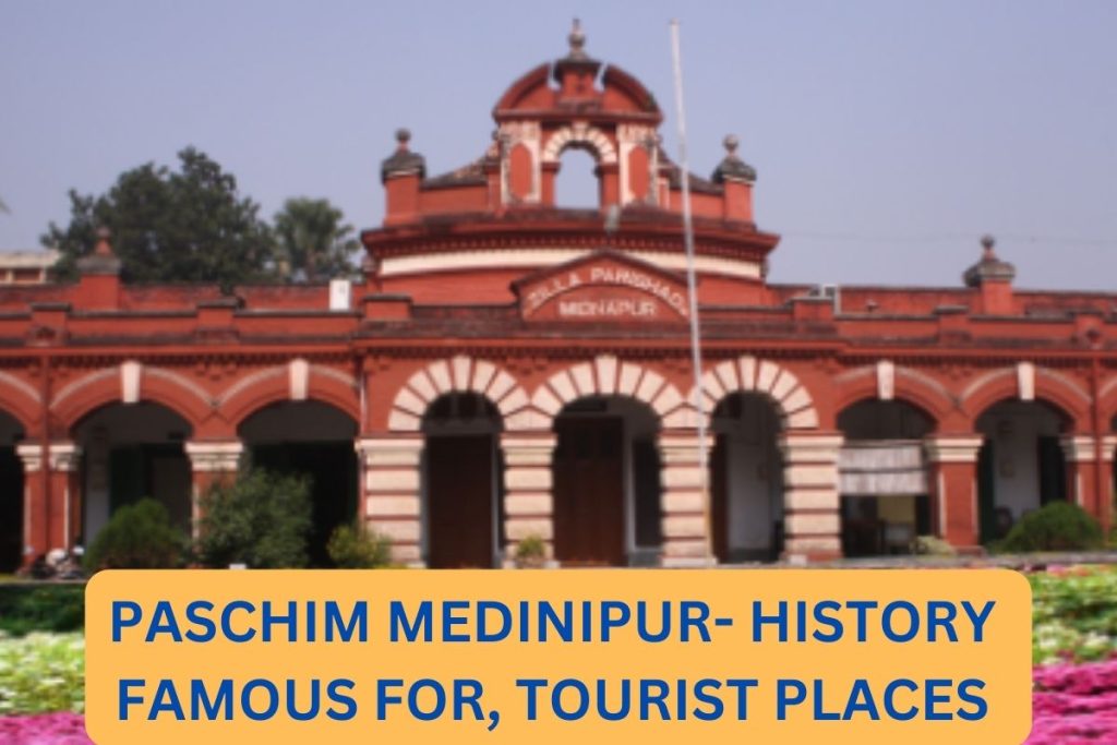
Paschim Medinipur is one of the famous cities of West Bengal which is located in the south western part of West Bengal. Paschim Medinipur was founded on January 1, 2002. According to the geographical area of Paschim Medinipur, it is the second largest district of the West Bengal state. Paschim Medinipur is the city of India which has the maximum number of villages. In this article we will discuss briefly about Paschim Medinipur,
Paschim Medinipur
West Bengal is divided into two Purba Medinipur and Paschim medinipur. Paschim Medinipur has the first rank for having maximum rural population of the state. The south pargana is the second district which has the maximum rural population, and third district is Musridabaad. Medinipur lies between 1°46´N21°46´N to 22° 57´N latitudes and 86°33É to 87°44É longitude. The percentage for having a tribal population nearest to the city of Paschim Medinipur is ranked fourth. The headquarters of Paschim Medinipur is Medinipur. The largest city of the Paschim Medinipur is Kharagpur. The district’s other significant towns and cities include Belda, Kharagpur, Ramjibanpur, Salboni, Balichak, Garbeta, Ghatal, Mohanpur, Keshpur, Chandrakona etc. according to the 2011 census list Paschim Medinipur has approximately 8694 villages with the approximate population of 7600. The second largest district which has the maximum number of villages in India is Mayurbhanj which is located in Odisha state of india.

Paschim Medinipur History
The Paschim Medinipur has its historical identity too. As surrounding the city coins issued by samudragupta have been found. The part of undivided Medipur is also included into the kingdom of Shashanka and Harshavardhana. The busy port of Tamralipta, close to Tamluk, which was mentioned in the travels of Faxian and Xuanzang, is the most important archaeological site in the area. Later, on his way from Puri to Varanasi, Chaitanya Mahaprabhu passed through the area, according to the Chaitanya Charitamrita.
Jaleswar Sarkar, one of the five Sarkars of Mughal Bandi Odisha, led by the Subehdar of Odisha, ruled this region when the last autonomous Hindu king in Kalinga Utkal, Gajapati Mukunda Deva, died in the sixteenth century. Tamluk marked Jalshwar’s north boundary, while Soro and Dhalbhumgarh marked its south. The Bay of Bengal marked Jalshwar’s eastern boundary. During the reign of Shah Jehan, Jaleshwar Sarkar or Hijli (which included Midnapore) was ruled by Bahadur Khan. Shah Shuja, the second son of Shah Jehan, and the Bengali subshdar then vanquished him.
Paschim Medinipur PinCode
| Name of the Post Office | Pin Code |
| Midnapore | 721102 |
| Garbeta-1 | 721121 |
| Keshpur | 721122 |
| Garbeta | 721123 |
| Salbani | 721129 |
| Keshiary | 721133 |
| Debra | 721136 |
Paschim Medinipur Famous for
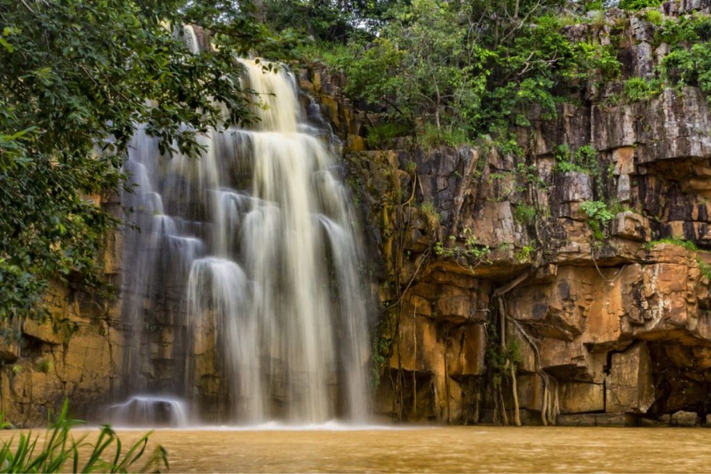
The Paschim Midnapore District is a land filled with culture,nature, history, and. There is a vast Sal forest in the west that constantly invites nature lovers to explore its mysterious environment. The east village community has contributed its rich tradition to the district since the beginning of time. It boasts the well-known forest mahal, a jubilant celebration like Karam Puja, and a proud heritage of the Chuar and Santal rebellions. However, the well-known Patachitra, Madhur craft is an illustration of its customs and folk art. The residents in this district celebrate the various colors of several festivals in line with the Sal jungle’s seasonal changes in color.
The Paschim Medinipur District administration has worked to maintain its rich heritage in a way that makes it a tourist destination, with inspiration from Hon’ble Chief Minister Mamata Banerjee and the West Bengal government’s tourism department. Several esteemed universities, such as the Midnapore Law College, the Oriental Institute of Science and Technology, and the Midnapore Medical College and Hospital, also have their campuses there. This town is among the few in India’s semi-urban setting that offers an abundance of options due to its sheer size. Paschim Midnapore is the perfect location for those who enjoy adventures more than a destination for luxurious vacations.
Paschim Medinipur Tourist Places
Belphari: Almost 45 kilometers away from the Jhargram, Dolma phadi is located under which Belphar is located. Belphar is a heaven of forest. Belpahari, a forested haven situated below the Dolma Hills, approximately 45 kilometers from Jhargram. A diverse range of tropical trees cover the foothills of Belpahari heavily. Common hardwood trees include Mahua, Shaal,Sonajhuri, Piyal, Eucalyptus, and Shirish.

Garbeta: Garbeta is the place of red soil and sal trees. It has connections with the Layek uprising’s history. In the beginning of the nineteenth century this dry red soil place saw the Chuar against the British. History claims that the uprising was known as the Layek revolt or Bagri paik. The field is called Gangani, which means heated, because the air gets warmer here during the summer.

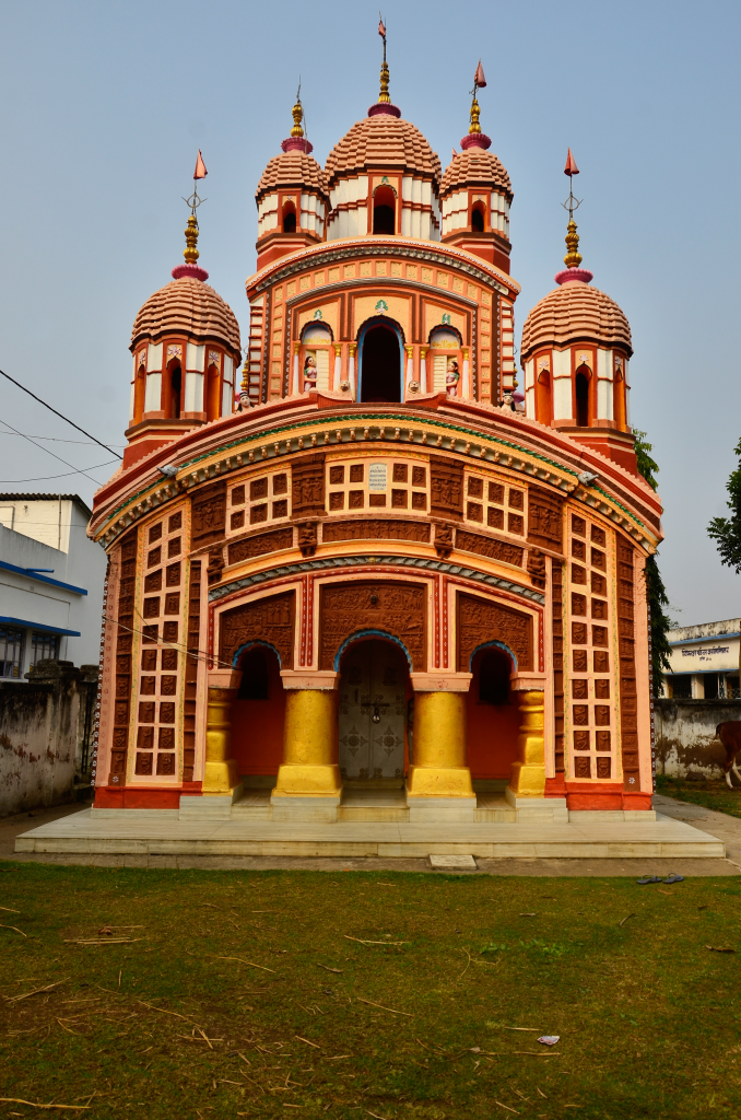
Khirpai: Khirpai is a famous and large marketplace og 18th & 19th century. Khirpai’s cotton and handicrafts were exported into other countries. At the time of the British period this place became famous for indigo plantation. The ancient Pancharatna Ratna, or pinnacle temple, Radhamadhab Temple of Malpara on Ghatal-Khirpai Road is still an amazing place to see Terracotta artwork. Currently, with 11000 residents, Khirpai is a 12 square km’s small town.

Hijli Eco Park: At a distance from the center of the city of kharagpur to Hijli Eco Park is located which is an amusement park. The park is near to the most famous technology institute of india. a total of 14.00 hectares is occupied by this Eco-Park. There are many forest plantations in this area. Numerous amenities are available for the public’s entertainment at this park, including kid-friendly playgrounds, picnic areas, museums dedicated to medicinal herbs, and murals showing wild animals.

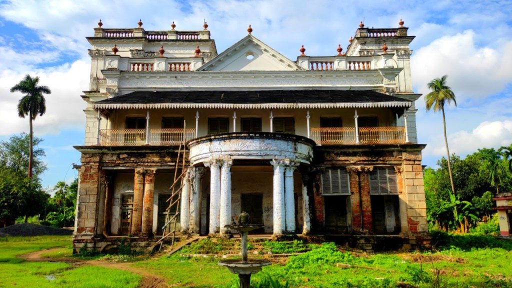
Narajole Rajbari: The three-story Raj Palace in Narajole and Lankagarh, with 250 rooms and a Hawa Mahal ballroom, is situated on a 60-bigha plot of land that is encircled by parikha ditches on the inside fort side. The Raj Palace is spread across 360 bigha of land. The outer fort covers the remaining 300 bighas all the way to Lankagarh, which is located a km away and is home to the Jalhari, a Raja’s outhouse surrounded by ditches on 100 bighas. The land outside the fort is home to fifty-four temples. The temples show an in-depth knowledge of Indian architectural heritage with Their unique blend of European and Bengali architectural styles.

Paschim Medinipur FAQs
- Where is the Paschim Medinipur located?
- In the south western part of West Bengal, the Paschim Medinipur is located.
- When was Paschim Medinipur founded?
- Paschim Medinipur was founded on January 1, 2002.
- Which is the second largest district of West Bengal state?
Paschim Medinipur is the second largest district of the West Bengal state - Which city of India has the highest number of villages?
- Paschim Medinipur is the city of India which has the maximum number of villages of India.